lifestyle
Houston Transforms Urban Living With Massive Connected Bayou Park Systems
Beyond the concrete and glass, Houston is reinventing urban living by weaving vast, connected bayou park systems into the very fabric of its sprawling landscape.
How we reported this
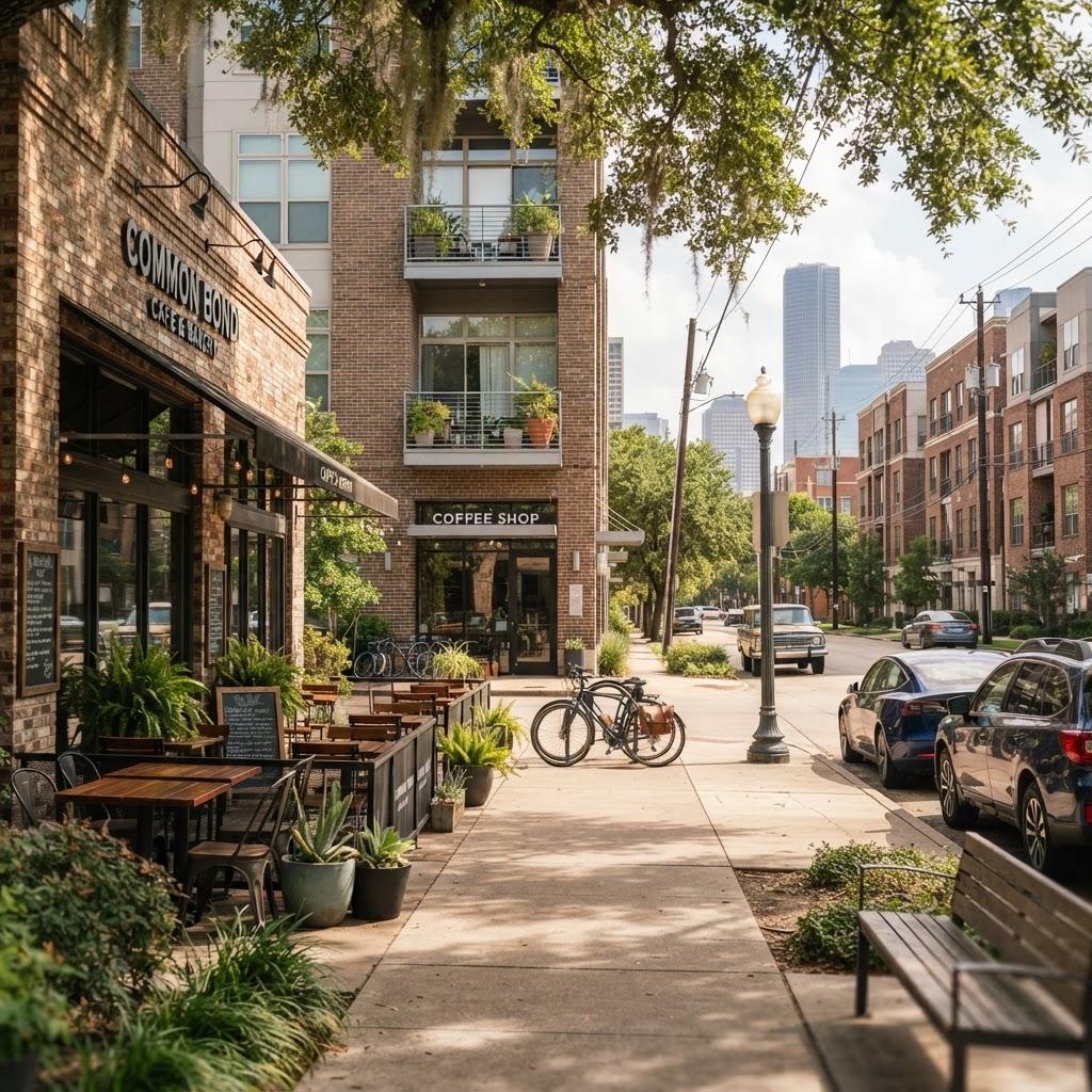
Houston is currently undergoing a structural shift in how it balances industrial growth with natural accessibility. Unlike cities defined by a single central park, Houston is utilizing its natural topography to construct a interconnected network of greenways that follow the city's winding bayous, effectively turning water management infrastructure into recreational corridors.
The Bayou Greenway Model
The city's approach to green space is fundamentally linked to flood mitigation and urban connectivity. Projects managed by the Houston Parks Board have prioritized the transformation of land along waterways, such as the Brays Bayou Greenway and the Buffalo Bayou Park, into continuous trail systems. This strategy creates a massive, singular outdoor asset that spans vast distances, allowing residents to traverse from the inner-city districts near Downtown Houston all the way to the suburban fringe without leaving a dedicated park space.
This design philosophy distinguishes Houston from other dense global hubs. Where London or Tokyo must carve out scarce parcels of land for small, isolated urban squares, Houston has leveraged the floodplains that run through its major residential neighbourhoods. These pathways now serve as a functional spine for cyclists and commuters, integrating the bayous-historically seen as utilities-into the daily lifestyle of the city.
Investing in Urban Ecology
Recent developments in areas like the M.D. Anderson Park or the ongoing expansions within the Buffalo Bayou partnership show a long-term commitment to this vision. According to documentation from the Houston Parks Board, the Bayou Greenways 2020 project successfully added or improved over 150 miles of trails across the metropolitan area, marking a significant increase in publicly accessible recreational land. This scale of development provides a unique advantage in a city of this size, ensuring that large-scale ecological restoration is happening alongside urban expansion.
For those looking to navigate these spaces, the city’s official park maps remain the most reliable resource for tracking path connectivity and maintenance updates. Visitors and residents should note that during the summer months, the peak humidity and high heat index require careful planning for outdoor activities, particularly along exposed sections of the trail in the Museum District or the Heights. As the city enters the latter half of 2026, planners are focusing on further linking these regional paths to local neighborhood hubs to ensure that no resident is more than a short walk from a major green artery.